Motoring into the Chesapeake and Delaware Canal
One of the easiest ways to spot the handiwork of man, especially engineers, is to to look for straight lines. Humans love straight lines. Nature, not so much. We think in a linear fashion, prefer to travel that way, even measure time along a single line either forward or back. Simple geometry imparts order and efficiency to our world in a manner we admire with almost spiritual piety: the shortest distance between two points, walk the straight and narrow path, etc.. To the ancient greeks, geometry was indeed an expression of the divine. We don’t even build things out of trees until we’ve sawed them into straight boards. I wonder why that is. Perhaps because the math we invented is so much easier for straight lines, and math is hard enough without tossing curves into the mix.
Nature, on the other hand, abhors a straight line, and will begin the process of undoing one before we have even finished putting it in place. It’s like a revision of the popular Escher illustration, where instead of one hand drawing the other, one is drawing while the other is erasing. This Sisyphean yin and yang process is especially true of our shoreline and river projects, because the process happens so fast you can see it, and the visual difference between a natural shoreline and a manmade one is so dramatic.
It was grey and overcast in the morning as we entered the Elk River, the entrance to the Chesapeake & Delaware Canal, but to the west the sky was clearing, the trailing edge of the front approaching. A flock of snow birds glided down the river toward us, boats under sail and power migrating south for the winter. Traffic moves through the canal in pulses with the tide, and this was evidence of the last tidal push. We would catch the next one going the other direction.
These upper reaches of the Bay are beautiful, and it was my first time to see it from the water. The shoreline here is close and intimate as it is intricate, close enough to get a glimpse of the lives that live along it, both the wildlife and the people. Much more interesting than broad blank stretches of open water. It’s why I prefer small boats so much over ocean going yachts – there’s so much more to see close to shore.
One of the only houses on the only part of the canal I saw with a natural shoreline
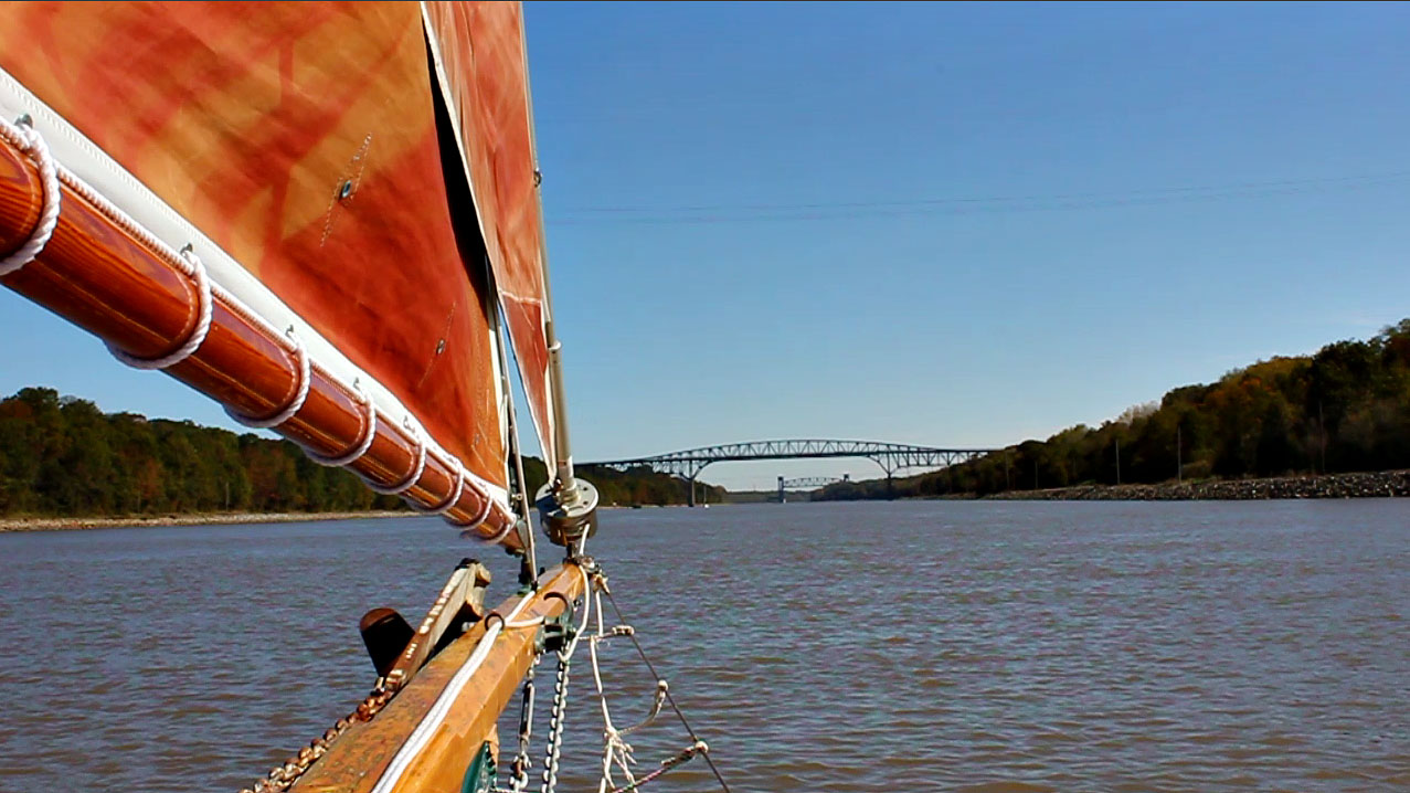
The C&D Canal is a bit different, though. I’m sure to some people it is fascinating, a feat of engineering and an artifact of history. Which, of course, it is. But rather than the constantly changing variety of a natural shoreline, the canal is fourteen miles of riprapped stone banks, mostly straight lines, the same width, connected by obtuse angles.
It’s not that wide, either. I’m no athlete, but I bet I could throw a baseball across it in one spot from Maryland to Delaware. It is important to remember this when a large ocean going cargo ship is coming toward you at speed. The ships are so large and the canal so narrow that two of them cannot pass each other abreast. Ships from one direction must wait until all the traffic coming the other way has cleared before entering the canal. The Corps of Engineers plays traffic cop, telling who can go and who must wait. Almost half of all the ships bound for the Port of Baltimore pass through this canal to get there, so there’s a lot of traffic. Smaller pleasure boats can come and go as they please, however, and must simply avoid getting run over. Obviously that part stays interesting.
A smallish barge
looks very big up close.
What the canal does do is cut the water distance from Philadelphia to Baltimore from 400 miles to 100, and does it all on a relatively safe inland passage. Before the canal, boats had to head out into the Atlantic, sail all the way to Norfolk, then sail all the way back up the Bay. For a measly 14 mile long ditch it saves a lot of time and money.
Another thing it does in the process is change the ecosystem at the north end of the Chesapeake. Before the canal, this part of the Bay was 200 miles from saltwater and the Atlantic and, under the influence of the Susquehanna River, essentially fresh. The canal opens up a shortcut, though, reducing that distance to only 60 miles, and saltwater is now pumped in with every tide. The canal was operated by locks for the first 100 years, so for a long time there was little water exchange; but when the locks were removed and the channel deepened in 1927, saltwater began to flow freely. I first heard of this when I worked for the Department of Conservation on Bay projects. Saltwater species are gradually supplanting what was here before. It’s not clear if this change is a bad thing, but it is definitely different. That is something I still find very interesting.
There were plans to further deepen and enlarge the canal. Cargo vessels used for international shipping have grown too large to get through, and railroads and trucks have taken over much of the interstate shipping business. The idea was to improve the canal to allow for passage of larger vessels and bring back more shipping to Baltimore, but the economic incentives for going forward have changed since planning began 20 years ago, and the project has been shelved since 2001.
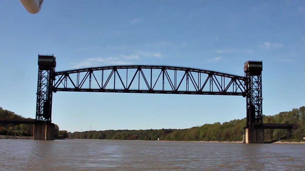
There are a half dozen bridges over the canal in the course of its fourteen miles, and that’s kind of interesting, too, since each one is different. I like the old Norfolk & Southern Railroad trestle best. It’s a big rusty erector set arrangement that raises and lowers like a medieval portcullis. It takes about 30 minutes to lower the bridge for a train to cross, and I presume another 30 to raise it again. Apparently it works quite like a portcullis, too. It is operated remotely by someone in an office in Philadelphia. In other words, he can’t see you. If the bridge is down for a train to pass, you have to wait. You can call him on the radio to say you’re there, but you still have to wait. Jay told us a story about a sailboat with a tall mast going through the canal in the fog one night. The bridge was left down, and the pilot didn’t notice until it was too late.
 Norfolk & Southern Railroad Trestle
The old elbow
When the Corps built the bridge, they took the opportunity to cut off an elbow of the canal and make it straighter. Half the elbow is now a pond, but the other half is a marina. We turned in to fill up the fuel tanks before heading out to Delaware Bay.
The day was clear and calm, the nicest yet. Going in, I heard Paul tell Jay there was a Small Craft Warning expected for Delaware Bay later when a new front moved in, Jay didn’t say anything. This was the second time in 24 hours I heard Paul say this, and both times Jay responded with silence. This was a little weird, because Jay is a good talker. Something was up, but I didn’t know enough to know what. Hadn’t we just sailed all day and all night through a Small Craft Warning in the race? No big deal, right?
We topped up and motored back out, and the wind was already noticeably stronger in just that short time, and had shifted 180 degrees, but now was going our way, and with the tide. Was still a very pleasant trip out the Canal.
We were in Delaware Bay by mid-afternoon, in the upper reaches where it was fairly calm. We turned east for Cape May, and worked our way toward the Atlantic, careful to stay just windward of the shipping lanes.
The scenery gets more industrial on the Delaware end of the canal.
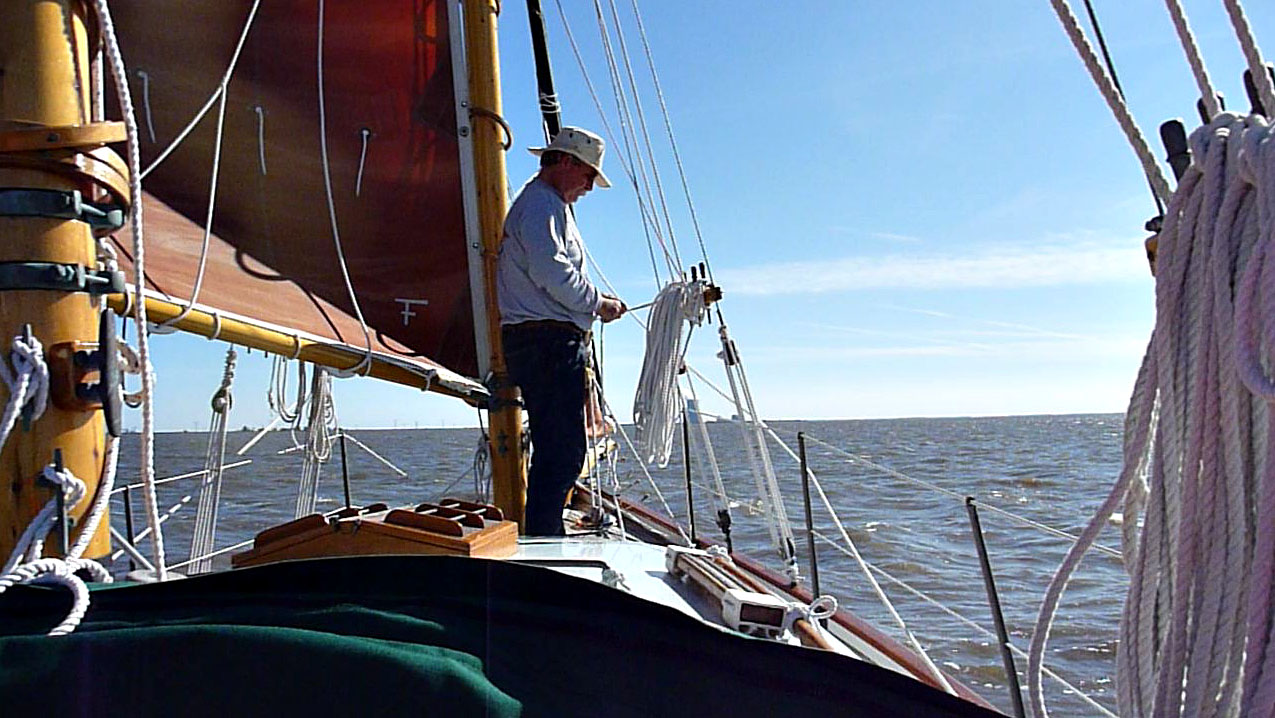
Sails raised in Delaware Bay.
I shot almost nothing but video during the whole trip through the canal and out the other side. All the photos above are screen shots from the video.


Hmm. A little foreshadowing. Looking forward to the next chapter.
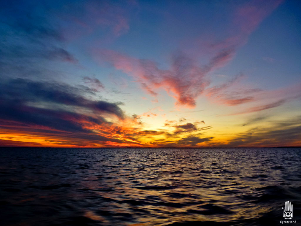
Look at that sky! Wow