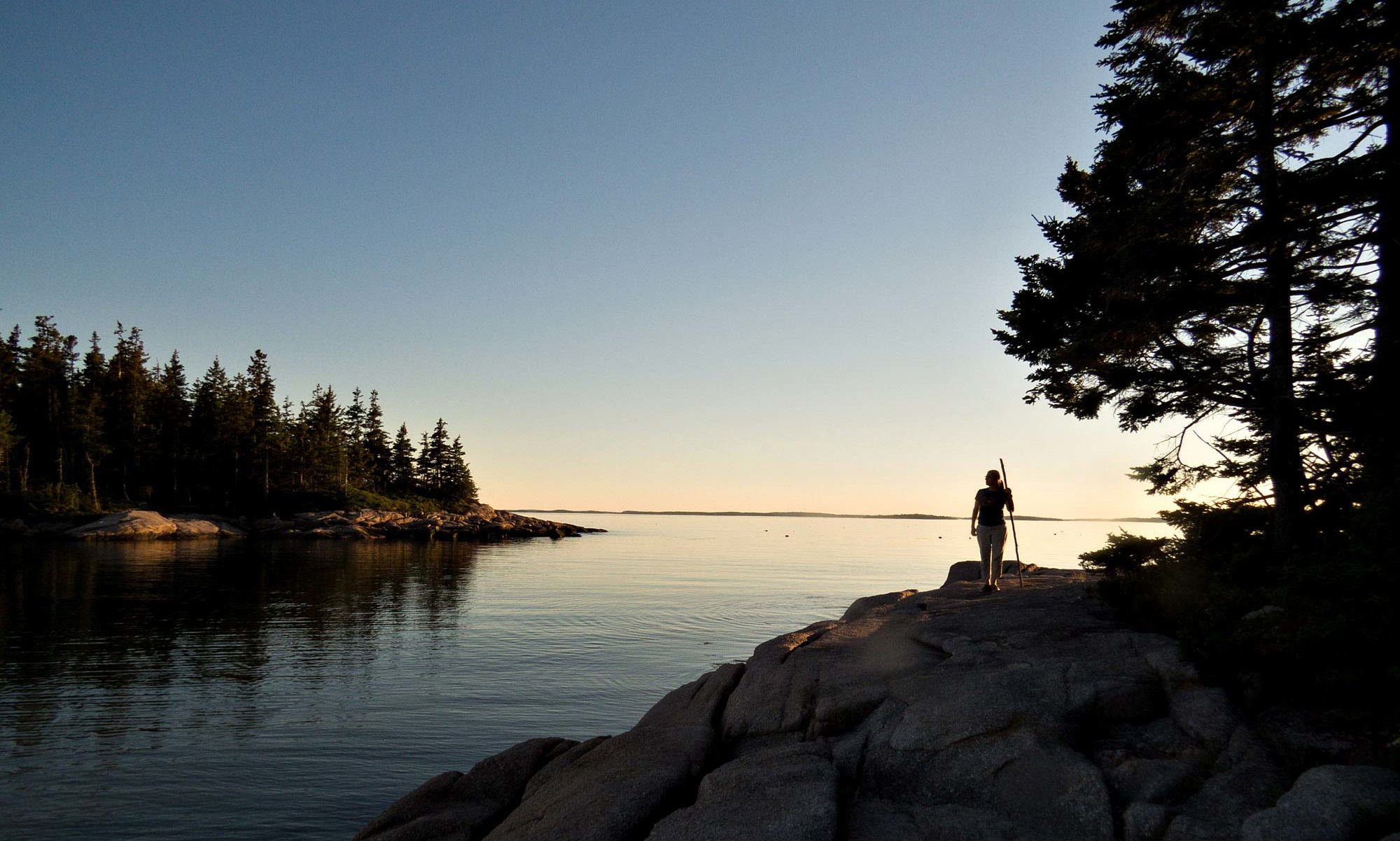


After coffee, I head out to the beach and turn right.
There is only one house on the island. There is no one else here.
Walking south. Here, too, trees hang on with impressive resilience. Roots fully exposed, awash at high tide. Nevertheless, they persist.


More bones: a heron, a hawk or osprey.


The south end is the broadest part of the island. Tucked back in the bushes by the marsh sits an old camper trailer, used as a hunting cabin. It looks abandoned, a window broken out, but a new utility pole connects power from the mainland, and inside it’s furnished and ready to use. Spatulas and knives washed and hung next to the sink, a newspaper on the table. An observation platform built over top offers a place to view much of Winter Harbor, and the sky at night.


It’s not much further to the end of the island, but there are still surprises. Up in the dunes in a most unexpected place, one finds a heavy duty bollard, of the type used at ferry landings. How very curious.

I realize the inlet has moved. A lot. This bollard was once in deep water, and not that long ago.
In a newer satellite image, with photos overlaid by location, it becomes obvious what’s happening. The whole island is moving.
Sand migrates south along the western shore of the Bay. As it does, the sand collects at the southern tip of the island, extending it. In fact, the whole island was probably formed this way, first as a sandbar creeping south from the north end of Winter Harbor inlet. The sandbar grew to a long peninsula, pushing the inlet further and further south, slowly cutting off the marsh from the Bay.
Water to fill 4000 acres of wetlands rushed through the inlet four times a day, every tide change swept it clean and dug it deep. As Wesley said, deep draft vessels used to pass freely through the inlet to the harbor within. The inlet just kept moving.


Eventually the fragile peninsula stretched too thin and gave way – back at the location of the original inlet. This not only cut off the long spit to make the island, but changed everything in the process. Water flows freely again through the north end, depriving the south end of the strong current needed to keep it clear. The migration of sand continues, but now collects here easily – this tip of the island grows quickly, and the inlet is silting in.
So are the creeks and the whole southern end of Winter Harbor. As the force of moving water diminishes, the balance tips back more to land building. According to Wesley, the creek at the dock by the house was a channel 8 feet deep. Now there’s less than a foot of water in it at low tide, and the creek is closed off at one end. In a satellite image, you can see the path cut through the mud by his outboard, a line straight to the dock. Everything is filling in here. Most of Winter Harbor is a foot deep or less at low tide, already, so it won’t take long. While the north end is scoured out.

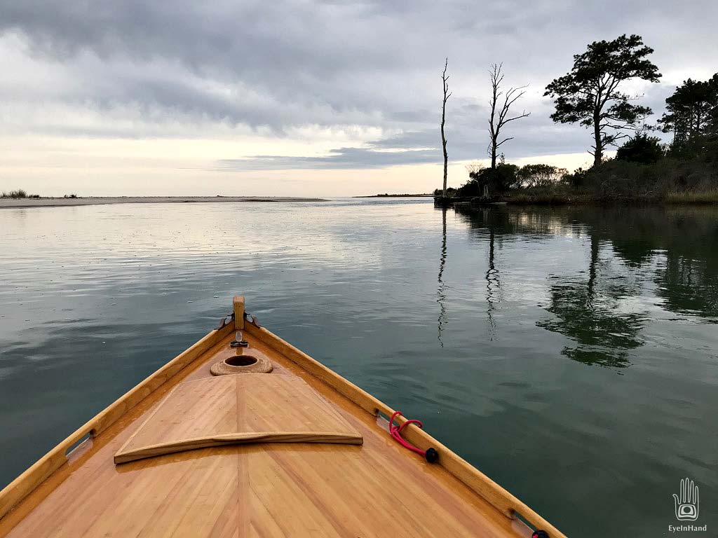
I go back to the house, slip the lines on Aeon, and row out the creek into the main channel. From there head for the south inlet through a big bend. You can see where the mainland was cut away as the channel moved, water deep and fast along a steep bank. On the other side, inside the curve, sand and mud is visible under inches of water. The channel crosses over and turns back the other direction, then switches again as sand from the island piles up on that side, pushing the inlet back against the shore.

The tide is coming in. Water moves quickly in the narrow part of the inlet, but only a little effort is needed to row against it. Fishermen, anchored in the channel, cast for stripers. A bald eagle lights in the top of a bald pine. Then, quite suddenly, I’m rowing out into the Bay.


Looking back from here, you can see that efforts to dredge the inlet will be wasted. A broad sand shoal already spans the entire gap between the island and the mainland. Before long the island will become a peninsula again, this time joined to the southern end of Winter Harbor. The inlet to the north will deepen, and a sandbar will start to grow from the north shore with the river of sand, pushing south, and the whole process starts over.
Sailing in the marsh a few days from now, I will see Wesley in his skiff pop out one of the creeks that lead north. He will circle to watch for a moment, then wave and head off. He’s already learning to use new routes, going the other direction, going north.
I float back in through the inlet on the tide, back into Winter Harbor, and row easily up creeks along the marsh grass. I see Terri walk out the boardwalk to the end of the dock. I wave, but she can’t see me gliding low through the tall spartina grass, until I round the last bend.

